The features of modern agriculture involve new generations of smart farmers. According to this trend, Agricolus manages to bring Hardware and Software together in a decision-making process that support farming activities.
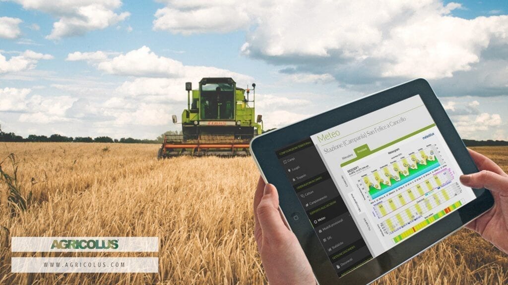
Agricolus offers a “plug and play” interface for precision agriculture. The platform uses FIWARE infrastructure to access the great possibilities offered by IoT technologies. Thanks to the simple and efficient Orion Context Broker, Agricolus is able to access data from sensors used by farmers: weather stations, fill-level sensors or smart insect traps.
Agricolus integrates its predictive algorithms with data collected in real time, in order to estimate risks of infestations or crop diseases. Moreover, Agricolus is able to create or enrich Orion’s IoT contexts, so it communicates to the “rest of the world” if in a given area treatments, fertilizations or tillage have been carried out.
On February 12th, 2018, Agricolus launched Agricolus Essential Free: a complete and free version for up to 10 hectares.
Agricolus Essential provides farmers with tools for cultivating according to scientific criteria. It allows them to successfully manage fields by registering useful information to understand crops evolution and parameters that influence results. Agricolus Essential support farmers with easy-to-use tools, such as “Dashboard” and “Weather Forecast”, but there are also advanced features such as “Imagery”, which provides crops multispectral images by using remote sensing. Lastly, Agricolus Essential is efficient and easy-to-use: farmers can now make the right decision at the right time.
Its Features Include:
- Fields – Analytics management for fields and crops planning.
- Dashboard – Brief description of fields and related crops.
- Crop Operations – Registration of crop operations carried out.
- Issues and Crop Damages – General issues collection and management.Crop damages registration.
- Soil Analysis – Registration of analysis results for soil texture, pH, soil organic matter, soil apparent density.
- Weather Forecast – Weather forecast visualization
- Imagery / Field Imagery – Visualization of the main vegetation indices: NDVI and NDMI. Statistics and comparison between different crop cycles.
- Help Desk – Support for questions about platform use.
Guest Post by Agricolus